
Images of Change
Provided by: NASA|Published on: April 27, 2021|Last updated: July 16, 2026
Grades: 6, 7, 8, 9, 10, 11, 12
Type: Data, Graphs, and Maps
Subjects: Earth and Space Sciences, Geography
Authors: NASA
Location: Earth
This resource has been reviewed by SubjectToClimate's climate scientists and verified for scientific accuracy and up-to-date information. Learn about our review process →
This resource has been reviewed by SubjectToClimate's climate scientists and verified for scientific accuracy and up-to-date information. Learn about our review process →
Synopsis
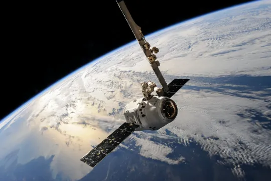
- NASA's Vital Signs library of satellite images showcases landscape changes over time due to a variety of factors such as floods, hurricanes, landslides, droughts, melting glaciers, etc.
- Before and after images can be viewed as a curtain/slide, toggle, or side-by-side. The images can be downloaded.
Teaching Materials
Positives
- Students can see how natural disasters and extreme weather events change the landscape.
- The text provides context for the images.
- There are over 200 pairs of images.
Prerequisites
- In order to see all of the images available, click on the four squares next to the main menu, at the top right.
- To view the text, click on the blue arrow next to the title.
Differentiation & Implementation
- This resource could be useful as a source of images for school projects, art classes, or classroom presentations.
- Students can discuss the connection between human actions and changes in the land.
This resource shows before and after images from around the globe. It is important to note that some of these after images are the result of climate change, while others are not. This resource is recommended for teaching.
Teaching Tips
Standards
Resource Type and Format
Scientist Reviewed
This resource has been reviewed by SubjectToClimate's climate scientists and verified for scientific accuracy and up-to-date information. Our review process ensures that every resource in our library reflects the current state of climate science.
Learn about our review process →