
Land Use Lesson 2: Measuring Land Use and Land Cover
Provided by: GoOpen Michigan|Published on: October 30, 2024|Last updated: July 16, 2026
Grades: 3, 4, 5
Type: Lesson Plans
Subjects: Science, Social Studies
Authors: MEECS, EGLE
Location: North America > United States > Michigan
This resource has been reviewed by SubjectToClimate's climate scientists and verified for scientific accuracy and up-to-date information. Learn about our review process →
This resource has been reviewed by SubjectToClimate's climate scientists and verified for scientific accuracy and up-to-date information. Learn about our review process →
Synopsis
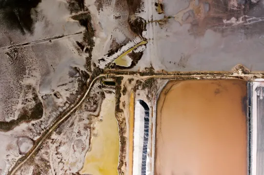
- In this lesson, students will use aerial photos and dot planimeters to measure the proportion of land used for various purposes.
- Students will measure, convert into percentages, and discuss how the land is used as a resource.
- This lesson builds off of Land Use Lesson 1 and is part of an 8-lesson unit.
Teaching Materials
Positives
- The extension for determining local land-use changes will help students connect their learning to where they live, providing a richer learning experience.
- The dot planimeter is an excellent tool for students who cannot yet calculate irregular areas.
Prerequisites
- To see all of the materials and information, including the procedure for teaching the lesson, teachers will need to click on the link titled "Land Use Lesson 2: Measuring Land Use and Cover" on the left and the green View Resource button (or click here).
- To help lead students to the definition of planimeter, teachers may first have to explain that the root plan- is derived from plane or surface.
- The suggested resource, kiteseyeview.com, does not exist.
Differentiation & Implementation
- Students working on calculating area can use simplified land use maps to write or answer questions such as, "What is the area of land being used for recreational purposes?"
- If teachers do not have transparencies for the dot planimeters, they can have students place copies of the planimeter in a sheet protector and trace where the dots are located.
- When discussing how people have changed the land, teachers can guide students in thinking about what this means for the animals and plants that once lived on that land.
Through this resource, students can learn about air photographs and how to map and quantify changes in Michigan's land cover and land use. The analysis' findings may help guide future efforts to solve the country's social, economic, and climate concerns. After a thorough evaluation of all the supporting materials, it passed our science review procedure.
Teaching Tips
Standards
Resource Type and Format
Scientist Reviewed
This resource has been reviewed by SubjectToClimate's climate scientists and verified for scientific accuracy and up-to-date information. Our review process ensures that every resource in our library reflects the current state of climate science.
Learn about our review process →