
Coastal Resilience Mapping Portal
Provided by: The Nature Conservancy|Published on: April 27, 2021|Last updated: July 16, 2026
Grades: 9, 10, 11, 12
Type: Data, Graphs, and Maps
Subjects: Earth and Space Sciences, Geography
Authors: The Nature Conservancy
Location: Asia, Caribbean, North America, North America > United States, North America > United States > California, North America > United States > Connecticut, North America > United States > Florida, North America > United States > Georgia, North America > United States > Hawaii, North America > United States > Maine, North America > United States > New Jersey, North America > United States > North Carolina, North America > United States > South Carolina, North America > United States > Virginia, North America > United States > Washington, Oceania, South America
This resource has been reviewed by SubjectToClimate's climate scientists and verified for scientific accuracy and up-to-date information. Learn about our review process →
This resource has been reviewed by SubjectToClimate's climate scientists and verified for scientific accuracy and up-to-date information. Learn about our review process →
Synopsis
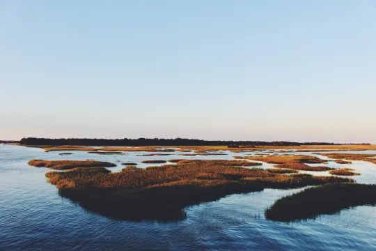
- This interactive mapping portal from The Nature Conservancy provides an abundance of information about many coastal areas around the world.
- With numerous customizable map layers, students will be able to see how sea level rise, strong storms, and natural coastal restoration efforts can affect these coastal communities.
- Students will learn about the coastal areas of Puerto Rico, Honduras, Indonesia, Australia, Guatemala, Mexico, the Dominican Republic, Jamaica, and several of the United States.
Teaching Materials
Positives
- The maps can help students see how various factors might impact local communities.
- Each location has some unique or locally-specific information.
Prerequisites
- It would be beneficial to explore the maps you're interested in using ahead of time to get familiar with the data available.
- Some maps are available in Spanish.
Differentiation & Implementation
- Advanced students can explore the maps in groups or independently, but other students may require more guidance or a demonstration to use these maps.
- Social studies classes can incorporate these maps into lessons about the unequal effects of climate change on various communities around the world.
- Geography classes can utilize these maps for lessons about the societal benefits of ecosystems, ecosystem services that human developments rely on, and natural barriers that protect coastal communities from natural disasters.
- Science classes can use this resource to highlight natural mitigation and adaptation efforts and the importance of coastal ecosystems.
The resource explains how coastal hazards are mapped to build resilience in coastal communities. This is recommended for teaching.
Teaching Tips
Standards
Resource Type and Format
Scientist Reviewed
This resource has been reviewed by SubjectToClimate's climate scientists and verified for scientific accuracy and up-to-date information. Our review process ensures that every resource in our library reflects the current state of climate science.
Learn about our review process →