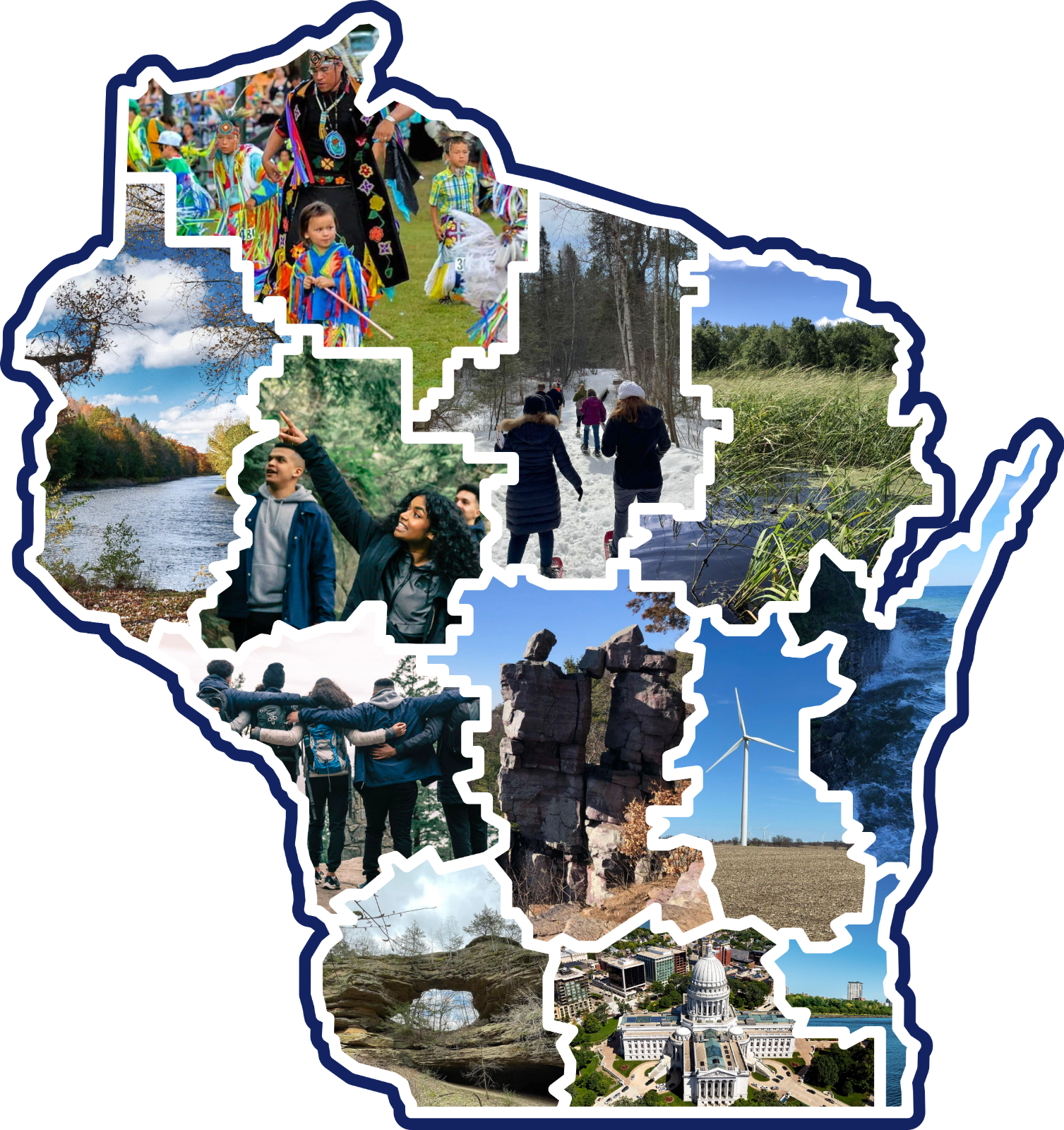
Climate Impact by Area

This resource has been reviewed by SubjectToClimate's climate scientists and verified for scientific accuracy and up-to-date information. Learn about our review process →
Provided by: Electricity Maps|Published on: September 28, 2022
Data, Graphs, and MapsScientist Reviewed
9101112AP
Scientist Reviewed This resource has been reviewed by SubjectToClimate's climate scientists and verified for scientific accuracy and up-to-date information. Learn about our review process →
Synopsis
- This interactive map displays visualized data about the production and consumption of energy for many parts of the world.
- Students can hover over many countries to explore the carbon intensity, low-carbon rate, renewable percentage, and the types of power produced and consumed for several time periods.
Subjects: Physics, Earth and Space Sciences, Geography
Authors: Electricity Maps
Region: Global
Languages: English
Teaching Materials
Positives
- This map is easy to use and full of interesting and important data.
- Students will be able to compare and contrast energy production and consumption for many places around the globe.
Additional Prerequisites
- Students should be comfortable with percentages and reading maps and graphs.
- Students should have some background knowledge about the different types of energy and their benefits and drawbacks.
Differentiation
- This resource would work equally well in a science class working on energy or social studies class considering the differences between energy production and use in different parts of the world.
- Have students complete a Venn diagram for two different areas of the map and present their findings to the class.
- As an extension, have a class discussion about what students' big takeaways were and what their hopes are for the future of energy production in the map area they worked with.
- Have students compare this map of energy production and consumption with maps of renewable energy potential, where solar, wind, geothermal, tidal, or other forms of renewable energy are best suited. Then have them summarize their findings in a presentation, poster, or paper.
In order to better inform policy decisions on renewable energy, this map calculates the carbon intensity while simultaneously showing the level of electricity production and consumption in real time under a changing climate. It is advised to use this resource for teaching because the datasets are free of scientific inconsistencies.
Teaching Tips
Standards
Resource Type and Format
Scientist Reviewed
This resource has been reviewed by SubjectToClimate's climate scientists and verified for scientific accuracy and up-to-date information. Our review process ensures that every resource in our library reflects the current state of climate science.
Learn about our review process →